Summer Weather Outlook and Regenerative Agriculture Decisions
Written by: ForGround by Bayer
Agronomic Summary
The overall forecast for the next couple weeks and months shows a strong signal for warmer than normal weather for most of the crop growing regions. This type of forecast usually means soil moisture becomes increasingly crucial for maintaining yield. Although some areas are wet right now, figuring out a way to keep that residue on the surface and “save” that moisture will be valuable in July and August. Areas with irrigation, especially in the Central and Southern Plains, may be on high alert for a higher irrigation dependency due to the forecast risk of high temperatures and below normal precipitation.
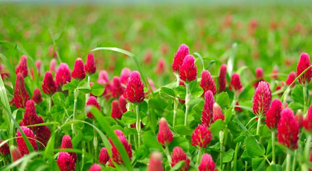
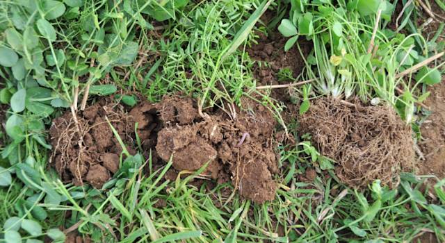
Fall cover crop decisions also start right now. The long-term forecast continues the risk of heat well into late-summer and early fall, so this may mean earlier crop maturity and would allow for early seeding. For those areas that do see drought-like conditions this summer, using cover crops this fall can be a great way to “scavenge” the unused nitrogen in the soil; however, this also means soil moisture may be limited and herbicide carry over could be an issue. Begin working with your cover crop dealer, agronomist, or reach out to a ForGround agronomist to discuss the early considerations for fall cover crop selection.
Additional Resources:
- Cover Crops Residual Activity of Bayer Corn and Soybean Herbicides
- Selecting Cover Crops for Your Farm
- Water Quality Impacts Cover Crop Following Drought
- Seeding Cover Crops in Dry Conditions
Summer Weather Outlook
Drought Monitor

Due to an exceptionally active May, the drought conditions have eroded across Iowa and portions of Kansas. However there continues to be a drought across Western and Central Kansas.
The Northern Plains and Canadian Prairies have eroded their deficits as well. Drought conditions have developed in FL, but it will be very active Mid June so therefore short term improvements are likely.
Drought Forecast:
Into early July, the Central Plains may struggle with extreme heat and worsening drought conditions. Severe storm clusters in the Ag Belt can also cause some sporadic damages to crops in the Ag Belt where there can be some flow.
The Ohio Valley and Ag Belt may start off on a stronger note with generally above normal precipitation in late June - July but there are concerns for the growing season to get shut off sooner with an extremely warm August and risks of limited precipitation.
The Northern Plains across June-September and into the Upper Great Lakes look to be the best growing areas this season.
The Southeast may run into some dryness issues come late August into September should tropical systems verify more in the Gulf Coast, but Cotton dense areas ultimately are more of a wild card.
June 21 - July 4 Temperature & Precipitation Outlook

Temperature
Top pattern drivers for the final 10 days of June into the first week of July are signals from the North Pacific as well as decreased global winds. All these point to warm forecasts and with time this heat can expand further north and east into the Great Lakes and OH Valley. The risk is for the overall corridor to be shifted more to the southwest, posing a warmer risk for the Southwest United States and a more seasonable East Coast.
Precipitation
There will be a favorable flow pattern from the SW to NE across the Northern Plains, coupled with above normal temperatures further north. The Central Plains can start a little more active from June 22 - 26th, then dry out more as heat expands north. The Gulf Coast would also have a risk to verify a little wetter. We need to watch the East Ohio Valley as this can trend slightly drier to a more seasonable look. Regardless flow can still work into East Ohio Valley, but it can be more sporadic.
July Temperature & Precipitation Outlook

Temperature:
Persistence pattern will really take hold into July with a very warm outlook. This can potentially be one of the record warmest Julys. With dominant high pressure across the Central Plains, the Southeast US could trend slightly cooler with this being more concentrated. Outside of cotton dense areas, growing regions are looking to be quite warm.
Precipitation:
The deeper we progress into July, the more prominent the threat can be for dryness to cause some trouble across the Central Plains. Kansas and Missouri would be locations at risk for potential drought conditions to develop due to how pronounced the heat can be. On top of the extremely above normal temperatures, the AG belt and Northern Plains are the favorable corridors for rainfall. The nature of this rain though in the above normal though can still leave some locations in misses.
August Temperature & Precipitation Outlook

Temperature:
August is another month that could be potentially be on record for warmest in history. The most intense core of heat can expand and lift north slightly as the ridge or area of high pressure expands north. The Central Plains would still pose warmer threats, with the Southwest near Arizona and New Mexico at risk of trending slightly cooler.
Precipitation:
There is lower confidence overall on the August outlook. The risk is for the upper OH valley to trend drier and for precipitation to shut off a little sooner in August across the Ag Belt. For now, analog support still points to a rather wet August for these areas but there is a notable dry risk. Additionally, with an increased/active tropical outlook, we do feel there can be tropical systems working across the Gulf of Mexico.
September Temperature & Precipitation Outlook

Temperature:
September holds the core of the heat over much of the eastern half of the US, and is looking to be another well above average month. The risk would be for the lower Ohio Valley to trend warmer based on analog support. Pacific Ocean influences leave a cooler risk along the West Coast.
Precipitation
We are again favoring some tropical activity and increased tropical threats along the Gulf Coast, so this will need to be monitored closely. The East Coast could see wetter conditions if a tropical system hits these areas; however, with a better chance for storms in the Gulf, there is a drier forecast for the High/Northern Plains with potentially favorable harvesting conditions."
Watch the Report
About the Report:
This report isn't just a forecast; it's a helpful tool to make informed decisions for your farm. As a member of ForGround by Bayer, you'll get a weather forecast just like this delivered straight to your inbox every month. Plus, no matter where you are on your regenerative agriculture journey, with ForGround, you will gain year-round access to science-based agronomic support, insights, and discounts, and will be the first to know when new potential revenue streams arise.