Late-Spring Weather Forecast and Regenerative Agriculture Considerations
Written by: ForGround by Bayer and BAM Weather
We know you’re looking ahead and anticipating planting conditions. So, we’re teaming up with BAM Weather meteorologists to bring you a detailed, region-specific weather report. Then our experts translate that into tips for growers who implement no-till, strip-till and cover crops.
This report isn't just a forecast; it's a helpful tool to make smart choices for your farm. As a ForGround by Bayer member, each month, you’ll get a regional weather analysis, including precipitation, temperature trends and agronomic insights to help guide your planning.
Agronomic Summary
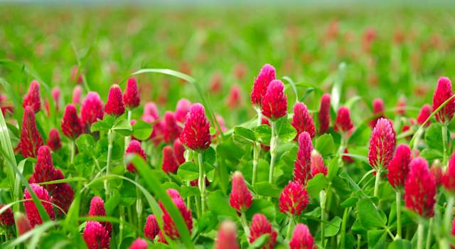
The recent weather has contributed to drought relief in many areas of the growing region. The obvious exception has been for many parts of Kansas and Northern Oklahoma. The dry vs. wet scenarios are separate discussions for managing any cover crops still growing. For those dry areas, early termination will save the soil moisture and leaving the residue on the surface will reduce evaporative losses. For areas with plenty of soil moisture, go ahead and let the cover crops grow to create more above and below ground biomass to gain those extra benefits.
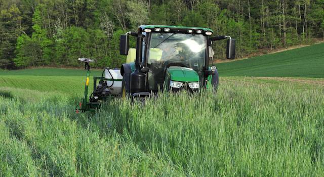
For the weather forecast, each region of the U.S. will see some up and downs with respect to temperature and precipitation over the next couple weeks, which will keep everyone “on their toes’. It’s going to be important to take those windows of opportunity to get your field operations completed.
For June through August, the outlooks are showing high odds for above normal temperatures east of the Rockies. This usually means faster crop (and weed) development, notably in areas that have adequate moisture. If we do see faster plant development, especially in areas with early planting, start anticipating how that might change your Fall cover crop selection and seeding window. Cover crop seed continues to be in high demand and seeding timing and method is a key component of seed selection and rates.
Early-Mid May Planting Outlook

The beginning of this month will start out especially active across much of the growing-dense areas for Corn and Soybeans. Getting longer than a 3-day dry window will be difficult for most of the highlighted green area.
Frost/Freeze Threats Frost and freeze signals do seem on the lower end threat. Near-term frost/freeze threats would pertain to North Dakota/South Dakota and Minnesota through May 5 with high confidence. Outside of this window it would be worth watching behind a storm system on May 11th for an additional frost/freeze threat. It is highly unlikely the OH Valley will see another frost this spring
Western Kansas has been an interesting progression over the past 3-4 months as prolonged dryness has created a microclimate setup with a struggle for moisture to press in.
May 6 -11 holds the best window to work in some precipitation chances into Western Nebraska/Kansas, however the risk is for these locations to remain below normal precipitation-wise
May 17 - 30 Temperature & Precipitation Outlook

Temperature: This forecast has been challenging, especially for precipitation patterns. Guidance suggests that cooler air arrives at the start of the forecast period, while 2020 and 2016 have similar pattern and bring in some risk of being warmer.
Precipitation: Like the temperatures, small adjustments in the pattern drivers given the weak overall signals can make some major differences over this period. 2020 and 2016 suggest the Plains returning to a more active state with better moisture chances suppressed south. The Northern Plains may see a mix of wet and dry periods with the Upper Midwest and Great Lakes trending a bit drier. The Corn Belt should be able to work in some planting windows as this is not an overly active or inactive period
June Temperature & Precipitation Outlook

Temperature: Common theme overall across the June-July-August outlooks will be notable warmth east and a cooler west coast. It will come down to where locally unusual warmth is in the East. For now, the Deep South and OH Valley are at greatest risk to host above normal temperatures.
Precipitation: This is another difficult precipitation forecast, with the dome of much above normal warmth in the east. There can be a rain track that sets up on top of the much above normal warmth across the Ag Belt, North-Central Plains and OH Valley. The location of this corridor of rain can shift north and south some.
The Ohio Valley would be at risk of trending drier if warm air presses more north. There still are drier risks as a whole across the Eastern United States.
July Temperature & Precipitation Outlook

Temperature: Almost like June, it is likely a weak La Niña is established into July. These are common to have the Eastern US quite above normal temperature with the Western US lingering on to some near normal/slightly below normal temperatures. The placement on this warmth can shift north a touch, bringing a warmer risk to the North Central US and a cooler Southeast US.
Precipitation: The Central and Northern Plains as well as the Southwest would be at greatest risk to fare above normal for precipitation. Strong Southeast warmth would bring in some continued dry risks for cotton dense areas. The above normal corridor as a risk can shift slightly more East into the Upper Midwest and MS Valley. This would shift the drier risk clockwise into the Southwest Plains and Texas.
August Temperature & Precipitation Outlook

Temperature: August has potential to be one of the hottest on record. All analogs point to some of the warmest August months on record (2007 warmest on record). The Ohio Valley would be the targeted area at risk for extremely above normal temperatures. This is a bolder call to denote an extremely above normal this far out. This “bullseye” can shift slightly Southeast as a risk.
Precipitation: Like the June outlook idea, there would again be a flow pattern that rides over the top of the bullseye to the left. It does look like the wetter solutions are starting to lean more likely for August as opposed to the drier risk in last month’s update. The Southwest would be at risk of trending drier. Also important to note that hurricanes in the gulf would have a higher likelihood of tracking into Texas with a more stable airmass over the SE.
Keeping an Eye on the Drought Monitor

Areas of most notable localized drought are occurring across Central Kansas and Eastern Iowa. Recent rains will help to and continue to erode the drought in Iowa. Kansas has continued to see the drought intensify over the past 30 days.
An active weather pattern across the Ag Belt during the first half of month places higher confidence the drought can improve in Iowa.
Central and Western Kansas continues to run the risk of steady drought conditions. With issues of getting sporadic moisture to verify there, this can continue to be problematic throughout May and into June
Keep an eye on the Southeast and portions of the Mid-Atlantic in cotton-dense areas. These areas have potential drought conditions developing into July/August.